 vesseltracker.com
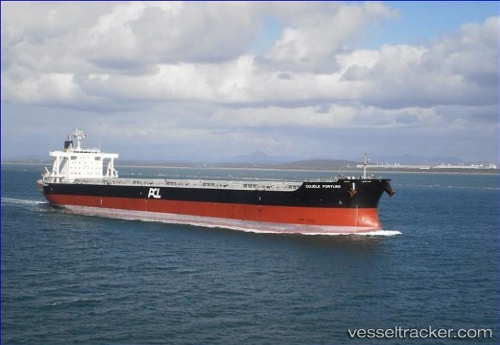
Vessel YU HENG STAR IMO: 9574119, MMSI: 636021787 Bulk Carrier
UTC, -32.88009, 151.75018, course: 123, speed: 0
UTC, -32.88293, 151.75282, course: 124, speed: 2.5
2026-02-14 18:33:53 UTC, -32.88121, 152.06075, course: 80, speed: 11.4
Live AIS position:
UTC. 10 nm S of PORT STEPHENS),
updated 2026-02-14 18:33:53 UTC.
Find the position of the vessel YU HENG STAR on the map. The latter are known coordinates and path.
marine traffic ship tracker show on live map
The current position of vessel YU HENG STAR is -32.88121 lat / 152.06075 lng. Updated: 2026-02-14 18:33:53 UTCCurrently sailing under the flag of Liberia
YU HENG STAR built in 2010 year
Deadweight:
95790 tDetails:
Last coordinates of the vessel:
UTC, -32.88005, 151.75014, course: 123, speed: 0UTC, -32.88009, 151.75018, course: 123, speed: 0
UTC, -32.88293, 151.75282, course: 124, speed: 2.5
2026-02-14 18:33:53 UTC, -32.88121, 152.06075, course: 80, speed: 11.4